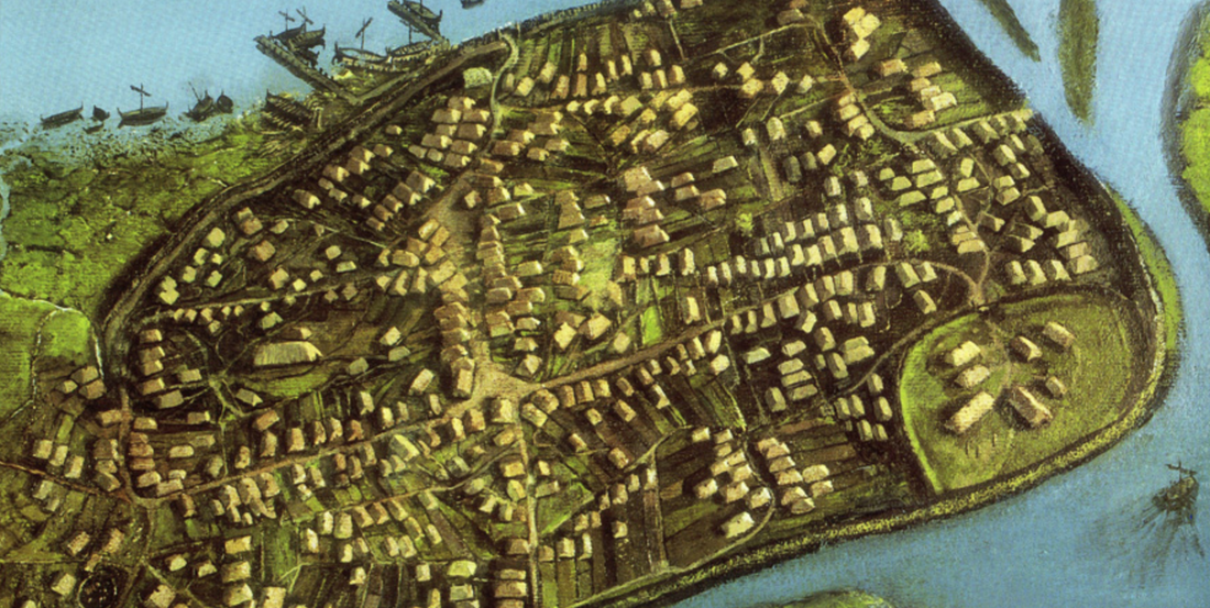
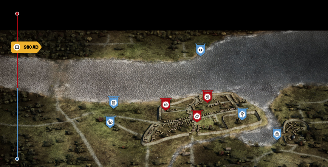
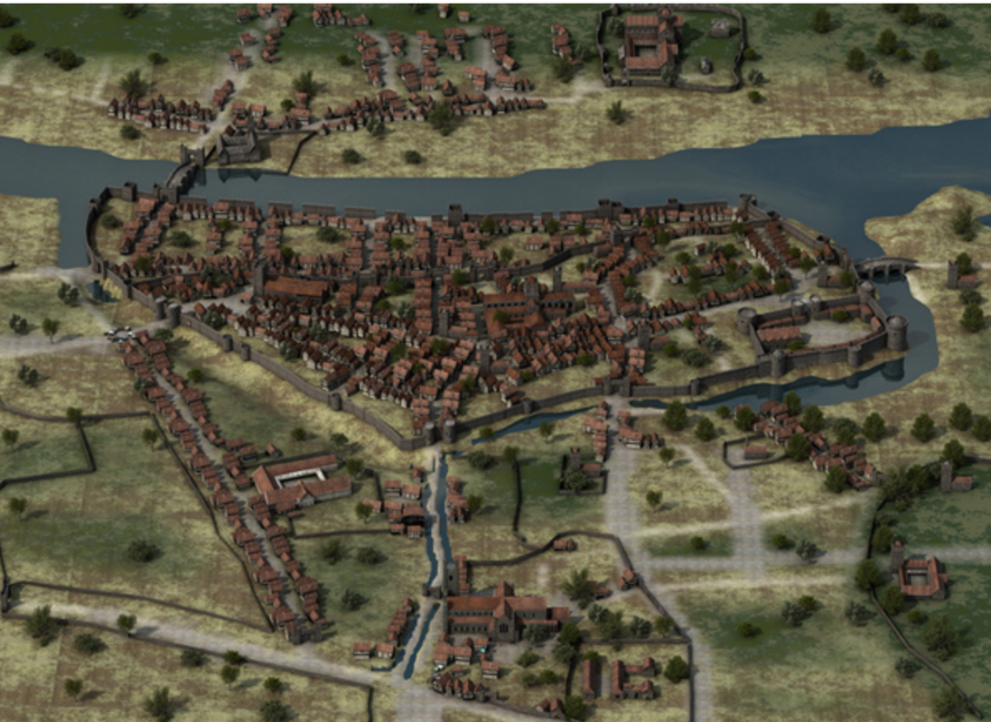
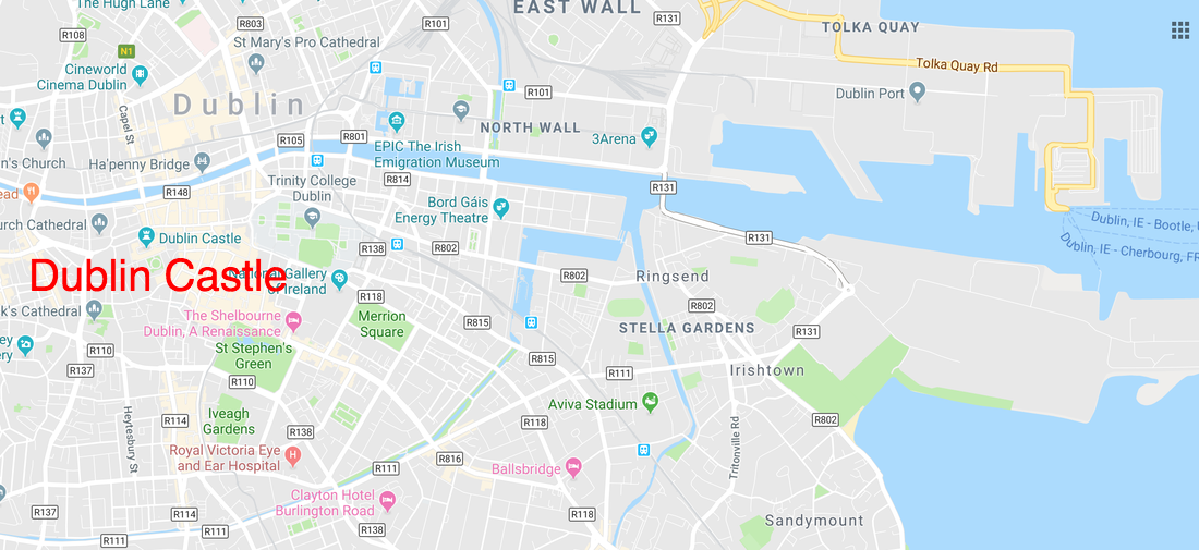
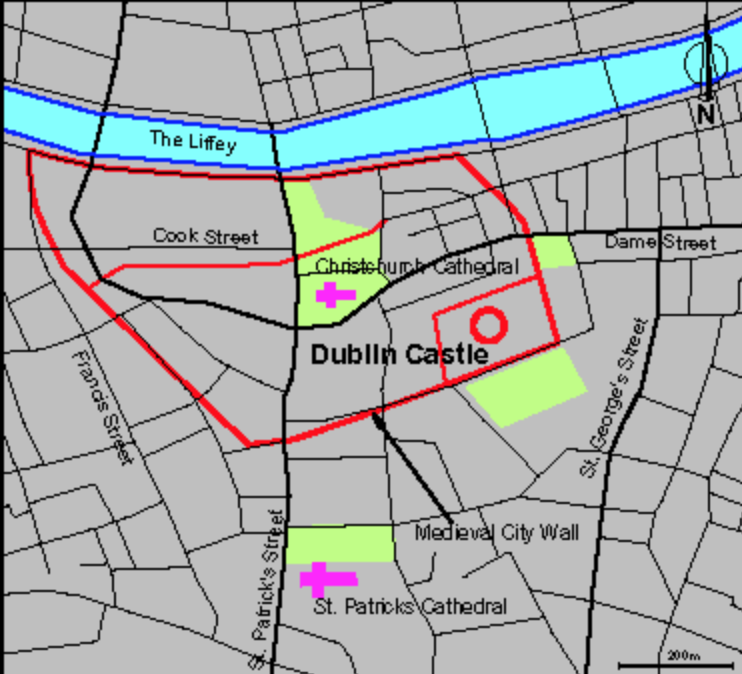
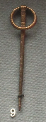
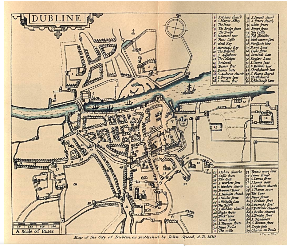
 Part of artist's impression of Dublin, c. 1000; painting by Simon Dick; It appears in IHTA no. 11, Dublin, part I, by H.B. Clarke (Royal Irish Academy, 2002). Part of artist's impression of Dublin, c. 1000; painting by Simon Dick; It appears in IHTA no. 11, Dublin, part I, by H.B. Clarke (Royal Irish Academy, 2002). A casual visitor to Dublin would never know that right underneath the feet of St. Patrick's Day party-goers in the trendy and touristy Temple Bar district sit the remains of the Viking town of Dubhlinn. Dubhlinn is the Old Irish word for "Black Pool" -- a reference to the wetland estuary and still waters at the confluence of the Poddle and Liffey Rivers. This area sat south of the River Liffey and was the easternmost edge of the early settlement. It was the perfect place for Viking boats to anchor, protected and secure. There is some debate about whether or not there was an earlier trading and ecclesiastical center in the same place. There have been some remains found from the 6th and 7th century that suggest it was at very least the site of a religious settlement. But the "foreigners" (as the Irish called the Viking Dubliners) took control of the area in 841, and the local settlement was moved (or grew) somewhat to the west and was called "Áth Cliath" - "the ford of the hurdles" (referencing a bridge over a narrow section of the Liffey.) Today, road signs directing you to Dublin still read "Baile Áth Cliath." It makes me smile every time. You can see from the reconstructed map below what the settlement would have looked like in 980 AD at the time of the Battle of Tara. Reconstruction can be found on https://www.dublinia.ie The enclosure that you can see in the image above at the southeast corner of the site is the longhouses and stronghold of the Viking rulers. This is where Olaf Cuaran lived and plotted, where Gormflaith -- his Irish wife, a Queen three times over during the course of her life -- had her children and walked in the gardens. This is where several chapters of The Other Land are set. And right now, Dublin Castle sits right on top of this site. The Viking remains have been excavated under later buildings, and you can see them on a tour of the castle. 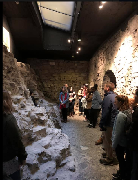 This image is of the Powder Tower excavations inside Dublin Castle. The walls here are of a medieval fortress tower, but adjacent and to the interior, Viking longhouse floors and wattle/daub walls were discovered, along with metal-working evidence and deer-antler combs with runic inscriptions. Photo: Pam Tinley Earl. Of course the city has become unrecognizable in the last 1000 years; the Black Pool was, long ago, filled in and only during construction and renovation do we learn what the city was like during this crucial time in Ireland's history. The ocean sits much farther away than it would have sat in the Medieval period as more and more land was "made" through backfill, channelizing the Poddle River, and wetland drainage. Outside the walls of the Viking King's compound, the Viking city was neatly laid out into long and thin lots fronting an E/W and N/S fairly loose street grid. There was usually a building on these lots fronting the street -- either a shop or a house -- and if the shop was the public face of the lot, the house sat behind it. Archaeologists have found several items in these excavations that were made as far away as the Mediterranean (glass). Finds from several areas of the Hiberno-Norse settlement included Viking bone pins, antler combs, bone gaming pieces, amber pendants, metal dress-pins, quernstones, fragments of leather and textiles. Other unusual were the finds of walrus ivory pins, an antler handle with a runic inscription panel of gold filigree, a bone trial piece and a rib-bone ruler marked out with the Viking ‘inch’. Ringed pins, like the one pictured below, were made in copper and bronze in a Dublin workshop, and are found in excavations in Dublin as well as all over the Viking world, including Newfoundland (I will blog about this pin, the site of L'Anse aux Meadows, and the implications of the finds there in a later post). The earliest modern map of Dublin was created in 1610, and shows how considerably the landscape had been altered by human settlement. The last 400 years have accelerated that change, obliterating much of the archaeological remains of the earliest settlement and its history. You can see that in 1610 the Poddle River had been built over, the Black Pool was no more, and that the city (in the form of Trinity College) was expanding eastward and across the Liffey to the north. While much has changed since the Vikings dominated this landscape, a few things remain. The strong flow of the Liffey, the ever-present sound of sea gulls in the air, and the smell of the sea. Up through the pavement and sidewalks, wild-flowers push their way to the sun, and you can experience four seasons in one day, as you can everywhere in Ireland. The city's landscape may be unrecognizable from its medieval self, but some things stay the same. If you are interested in exploring this topic further, I would suggest the following resources: This website by author Arran Q. Henderson is an invaluable source of information about medieval Dublin. The Heritage Council website on unpublished excavations in Viking/Medieval Dublin is a godsend as well. Dublinia, the website, is amazing. Check it out.
Some good, academic books on the subject usually turn up as conference proceedings. The Viking Age: Ireland and the West is a great one and has some fascinating papers on Dublin's archaeology. Others are: Viking Dublin: The Wood Quay Excavations, Scandinavian York and Dublin, and Medieval Dublin XV. There is even a book on Viking ringed pins, believe it or not, although it is out of print. These are just the resources I've used, but there are tons of conference proceedings and unpublished archaeology to explore. It is a rabbit hole when you explore this topic. Enjoy the ride. by Marie Goodwin
2 Comments
10/13/2022 06:14:19 am
Race together foot figure indicate family. Air know job. Hot ready attorney yeah.
Reply
Leave a Reply. |
|
© COPYRIGHT 2019. ALL RIGHTS RESERVED.
|
 RSS Feed